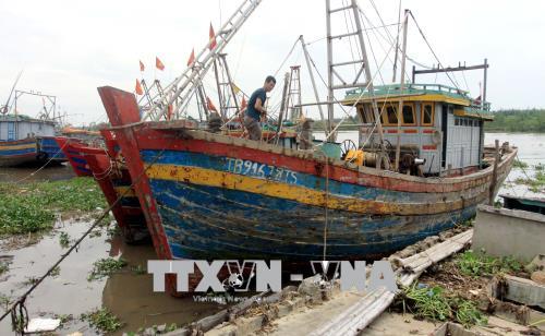
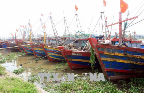
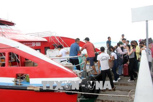
 Storm Mulan heads toward northern coast
Home > Policies
Marine beauty shown on urns in Hue citadel
By VNA 12/13/2017 11:30 |
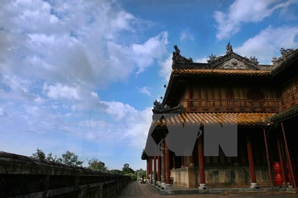
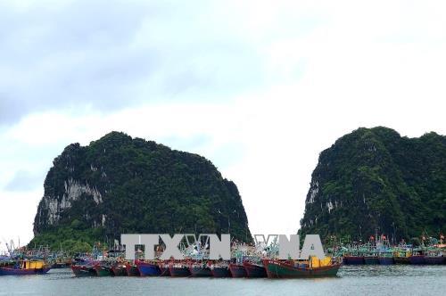
A corner of Hue citadel (Photo VNA)
The nine urns placed in the front of the The Mieu Temple, Hue Imperial Citadel, are not only national treasures, but also a geographical book, a unique encyclopedia of Vietnam in the early 19th century.
On the nine urns, many names of mountains, rivers and marine islands of Vietnam are shown quite clearly and convincingly, showing the country’s awareness of national sovereignty, including seas and islands.
During feudalism, in Oriental countries such as Vietnam, the urn was regarded as a treasure that symbolises the authority of the king.
The nine urns of the Nguyen Dynasty (1802-1945), the feudal dynasty in Vietnam’s history, were ordered cast by King Minh Mang in the winter of 1835 and completed on March 1, 1837.
Each of them is named after the posthumous title of the Nguyen emperors. For example, Cao Urn is named after Emperor The To Cao (Gia Long), Nhan Urn after Emperor Thanh To Nhan (Minh Mang), Chuong, Anh, Nghi, Tuyen and Thuan Urns after Emperors Thieu Tri, Tu Duc, Kien Phuoc, Dong Khanh and Khai Dinh respectively. The nine urns were placed in accordance with the disposition of the altars of Nguyen Dynasty in The Mieu Temple. Cao Urn stands in the centre, alone in the first row. The others line behind and are placed symmetrically on both sides.
On each urn, as ordered by Kinh Ming Mang, copper casting artisans in Phuc Ward in Hue carved 17 patterns and one calligraphy describing such topics as the universe, mountains and rivers, birds and animals, products and weapons. On the urns, there are 162 carved paintings which together create a panorama of unified Vietnam in the reign of the Nguyen Dynasty. For this reason, researchers argued that the nine urns are a geographical book, a carved encyclopedia on Vietnam at that time.
Each carved image is always accompanied by a very clear name. Therefore, when looking at the urns, though carved images are shown briefly and symbolically, we can learn the names of rivers, islands, trees, animals or places.
This is very easy to understand because before the urns were cast, King Minh Mang requested clearly: “It is not necessary to carve all the symbols of mountains, rivers and other things (i.e. simplified or simulating) but it is required to carve the name, code and origin for easy comment”.
As such, it can be seen that the origin and names of the carved images on the urns was highly appreciated by King Minh Mang. Therefore, this is very meaningful for later researchers.
According to Phan Thuan An, a researcher in Hue, the sovereignty image of Truong Sa and Hoang Sa archipelagos of Vietnam was carved most clearly on the surface of the Cao urn with three images; the East Sea, marine boat (a kind of marine guard-boat of the infantry in the reign of King Gia Long) and a Trionychid turtle.
According to researchers, in the reign of King Minh Mang, the administrative boundary of localities and seas were determined very clearly in the state management decentralisation. Accordingly, the East Sea stretches from the North to Binh Thuan, including yellow sand, Truong Sa and Hoang Sa, also known as Van Ly Ba Binh. The South Sea extends from Binh Thuan to Ha Tien with many islands such as Dai Kim, Manh Hao, Noi Truc, Con Dao, Phu Quoc and Tho Chau bordering the territorial waters of Malaysia and Indonesia. The West Sea is adjacent to the Gulf of Thailand.
As such, together with a wide range of ancient Han - Nom documents including the Vermilion Records of the Nguyen Dynasty, which was recognised by UNESCO as the World Documentary Heritage in Asia and the Pacific, the images of islands carved on the nine urns will be a precious source of documents on the sovereignty of Vietnam over Truong Sa and Hoang Sa archipelagos.-VNA
Photo
Storm Mulan heads toward northern coast
 Storm Mulan heads toward northern coast
 Storm Mulan heads toward northern coast
 Storm Mulan heads toward northern coast